The Basemap Shifted Overnight: When Your Geofence No longer Matches the Building
The Failure Nobody Coded
Most access-control incidents have an obvious culprit: a revoked credential, a misconfigured role, an expired token. Then there is the quieter category — the one where nothing in your system changed at all. The geofence is intact. The policy engine is healthy. The logs show a perfectly reasoned decision: denied, outside boundary.
The problem is that the boundary moved.
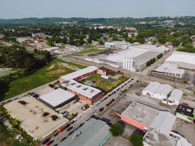
Across the United States, mapping providers routinely revise their basemaps. Address ranges get renumbered after municipal rezoning. Rural routes are converted to named streets as counties adopt E911 addressing standards. A parcel that sat at the edge of a delivery zone in Phoenix or suburban Atlanta may render fifty feet to the left after a provider's imagery refresh. None of this triggers a deployment, a changelog entry, or an alert. Your system simply starts making correct decisions about a world that no longer exists.
Three Ways Location Truth Slips
Provider-side geocoding drift. When you store an address as a string and resolve it at check time, you inherit the vendor's geocoder — including every correction it ships. A rooftop-precision result can become an interpolated street midpoint between releases, shifting the resolved point by enough to fall outside a tight geofence.
Reference data lag. Your CRM says a tenant is at 2400 Commerce Park Drive. The tenant signed a lease amendment two months ago and now occupies the adjacent suite. Or the county renamed the road. The access rule keyed to the old address keeps evaluating against a ghost location, and the first symptom is a frustrated property manager calling support.
Coordinate truncation and precision loss. A surprising number of drift incidents are self-inflicted. Coordinates stored as floats rounded for display, latitudes copied from a mobile device with reduced accuracy, or addresses geocoded once and never revalidated — each introduces silent error that compounds when fences are small. A twenty-meter fence around a storage-yard gate in Texas has no tolerance for a fifteen-meter geocoding wobble.
Detecting Drift Before It Locks Someone Out
The encouraging news is that address drift is detectable, provided you treat location data as an operational asset rather than a lookup detail.
Re-geocode on a schedule and diff. Run stored addresses through your geocoder periodically — quarterly is often sufficient for most US markets — and compare resolved coordinates against what your policies reference. Alert on movement beyond a threshold you define per fence size. A warehouse boundary should tolerate more drift than a single-door fence.
Track denial clusters by location, not just by user. A single failed access event is noise. Five denials at the same geofence in one afternoon, from users who were physically present, is a signature. Correlate denials with ground truth — badge-ins, check-ins, device GPS with high accuracy — and flag fences whose denial patterns contradict observed presence.
Version your basemap dependencies. If your provider exposes basemap or dataset versions, pin them deliberately and upgrade consciously, the same way you would a dependency in a lockfile. Treating map data as an unversioned ambient service is precisely how overnight breakage happens.
Keep a human-verified ground-truth sample. For high-stakes fences — data centers, pharmaceutical storage, critical infrastructure — maintain a small set of independently surveyed coordinates. Periodically reconcile vendor output against this sample. When the two diverge, you have learned something important before an incident, not after.
Pinning Location Truth In-House
The durable fix is architectural: stop letting the vendor's interpretation of the world be the source of truth for access decisions.
Store the resolved coordinates — not just the address string — at the moment a site is provisioned. Record the geocoder, its version, and the precision class of the result. From that point forward, policy evaluation should reference your stored point, not a fresh lookup. Re-geocoding becomes a maintenance activity with review, not a live dependency smuggled into every authorization request.
For teams operating at scale, a two-tier model works well: vendor geocoding for discovery and onboarding, with a curated, internally owned coordinate record for enforcement. The vendor tells you where the building probably is. Your database decides where the fence actually is.
Finally, write drift into your incident runbooks. When a geofenced denial storm hits, the troubleshooting path should include "re-geocode the site and compare" alongside the usual credential and policy checks. Teams that rehearse this path resolve in hours what otherwise takes days of finger-pointing between the access system and the map provider.
The Map Is a Dependency, Treat It Like One
Developers learned long ago to pin package versions, cache API responses defensively, and never trust a third-party service to remain constant. Location data deserves the same discipline. The map beneath your access rules is a living dataset maintained by someone else, subject to change on someone else's schedule. The organizations that avoid drift-driven lockouts are not the ones with better fences — they are the ones who decided that where things are is a fact they own.