Location as a Credential: How Geofencing Is Rewriting the Rules of Access Control
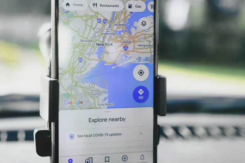
For most of the last decade, the access control question has been a binary one: who is asking, and what are they allowed to do? Identity providers, SSO platforms, and role-based permissions solved that problem reasonably well. What they never solved was the quieter question sitting underneath it — where is the request coming from, and does that location make sense?
In 2025, that second question is moving to the front of the security checklist. For a growing number of American businesses, the answer is being delivered by geofencing: virtual perimeters drawn around real-world coordinates that grant, restrict, or flag access based on physical position.
Why Geography Suddenly Matters
The shift is less about new technology than new exposure. Distributed workforces, mobile fleets, and IoT deployments have multiplied the number of access points that exist outside a traditional office network. A warehouse scanner in Reno, a delivery van in Atlanta, and a contractor's laptop in a Dallas airport all present the same credentials — but very different risk profiles.
Geofencing closes that gap by treating location as an additional authentication factor. A technician can unlock a building's smart locks only within a defined radius. A fleet management dashboard accepts telemetry only from vehicles inside their assigned service areas. A corporate application flags a login that originates two thousand miles from where the badge swiped an hour earlier.
The pattern is powerful precisely because it is boring. It doesn't replace identity; it corroborates it.
Practical Implementations Worth Studying
Three archetypes dominate real-world deployments in the US market:
Perimeter-gated physical access. Office buildings and industrial sites increasingly tie door credentials to a geofence. An employee's mobile credential simply won't broadcast unless the device is inside the property boundary, which blunts relay attacks and credential-sharing — a persistent headache for badge systems.
Fleet and field operations. Logistics companies along major corridors like I-95 and I-10 use geofences to enforce check-in checkpoints, trigger arrival notifications, and lock drivers out of sensitive systems once a vehicle leaves its route. The same fences feed compliance logs that prove hours-of-service adherence.
Hybrid workplace policy enforcement. Some employers now condition access to internal tools on presence within an approved work zone — home addresses, regional hubs, or client sites. It's the most controversial application, and the one most likely to end up in a policy review meeting.
The Compliance Knot: Fifty States, Fifty Questions
Location data sits at the intersection of privacy law and employment law, and in the United States, both are a patchwork. California's CCPA and CPRA treat precise geolocation as sensitive personal information requiring explicit notice. Illinois — home to some of the country's most litigated biometric statutes — has shown a willingness to extend that scrutiny to location-adjacent tracking. New York and Washington continue to expand their own requirements.
For teams building these systems, three practices reduce exposure considerably:
- Collect the coarsest signal that works. A ZIP-code-level fence may satisfy the security requirement without capturing precise coordinates. Reserve meter-level accuracy for scenarios that genuinely demand it.
- Write the policy before the code. Document what is collected, why, retention windows, and who can view it. Regulators and plaintiffs' attorneys alike ask for this paper trail first.
- Disclose plainly and locally. Employees in Texas and employees in Oregon should both understand exactly when their location is being read. Ambiguity is what turns a reasonable control into a lawsuit.
Engineering Realities
Geofencing sounds simple — draw a polygon, run a point-in-polygon check. Production systems are less forgiving. GPS drift in urban canyons can bounce a legitimate user in and out of a fence repeatedly. Battery-conscious mobile operating systems throttle background location updates, which means your fence may not know someone left. And hysteresis — deliberately building in a buffer zone before a state change fires — is the difference between a stable system and one that spams your alerting pipeline.
The teams that succeed treat fences as state machines with debounce logic, not as simple boolean checks. They also log every transition, because when an access decision is challenged, the location history is the evidence.
The Direction of Travel
None of this suggests geofences will replace identity as the foundation of access management. They won't. But the industry is clearly converging on a model where context — device posture, network, time, and now place — accumulates into a trust score that gates real decisions. Location is simply the newest, and arguably most intuitive, signal in that stack.
For developers building the next generation of access tools, the mandate is clear: treat the map not as a visualization layer, but as part of the security model itself.